|
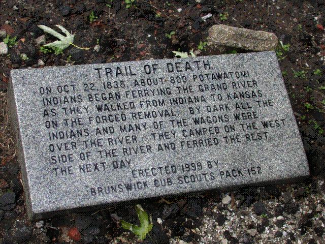
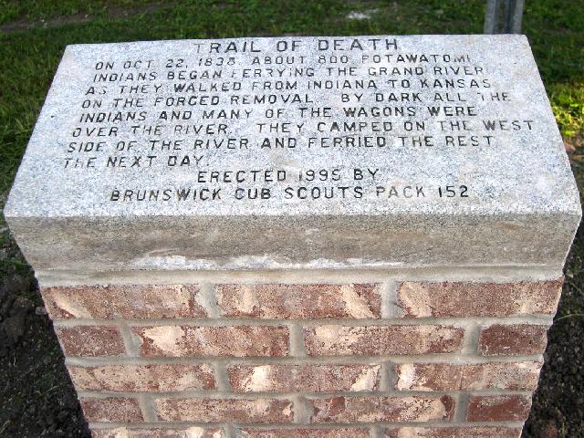
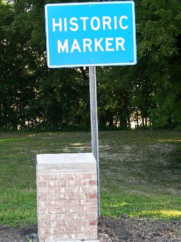
Entering Brunswick, US 24 becomes Broadway and parallels the Grand River. (The Missouri River of Lewis & Clark fame is 3 or 4 miles south.) Turn south (left) at Polk Street - there is a sign on the corner pointing to historical marker. Cross over the railroad tracks and enter a gravel parking lot which for the boat ramp. The Trail of Death marker is on the south side of the parking lot. There is a tall sign beside it, so that people can find the granite block flat on the ground. 
Located at the boat ramp on Grand River and Polk Street. Erected in 1999 by Cub Scout Pack 152, led by Donna Tate. (Photo by Larry Prichard, Lynn, Indiana, on Trail of Death Commemorative Caravan, 2003.) 
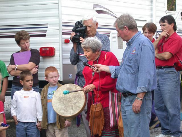
Located at boat ramp on Grand River and Polk Street. Pictured are children, Sister Virginia Pearl with drum, Tom Hamilton with video camera, and Patrick Dockery holding the microphone. Onlookers are the adults who brought the children from the local after-school program. (Photo by Larry Prichard, Lynn, Indiana, on Trail of Death Commemorative Caravan, 2003.) 
 Monday 22nd Octr. [continued] At 2 o’clock we reached Grand River, preparations for the ferriage of which had before been made, and immediately commenced its crossing. By dark all the Indians and many of the wagons were over. The remainder will cross in the morning early and by 12 we hope to be able to continue our journey. The Grand River is west of Brunswick on US. 24. Continue west on US. 24 to DeWitt, Missouri. |
| < Previous | Home | Next > |